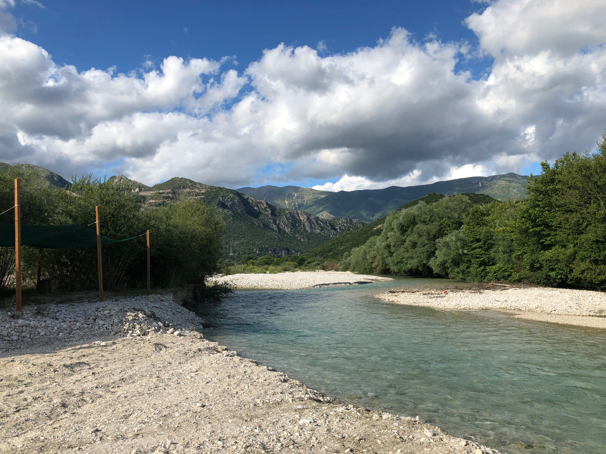
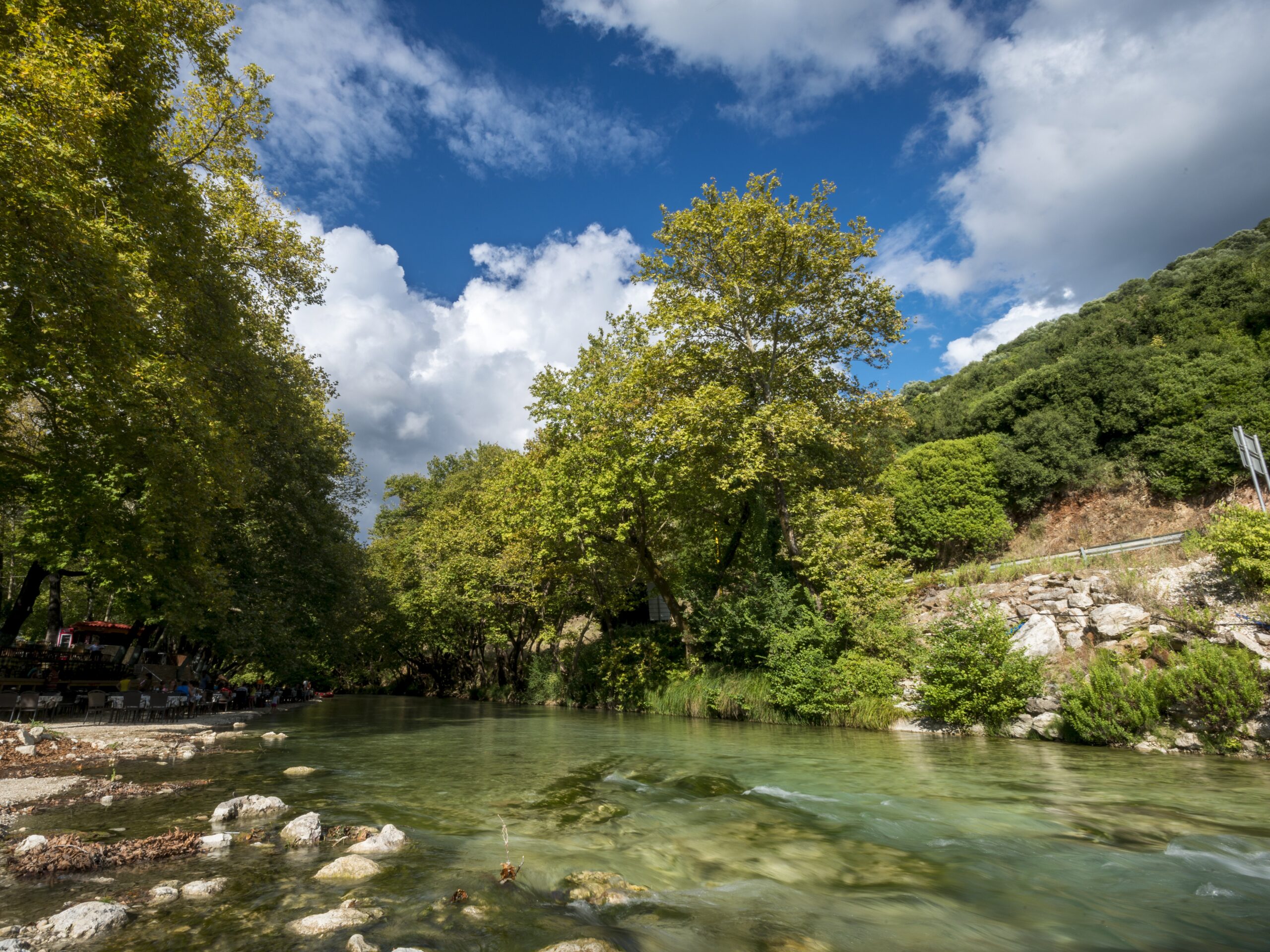
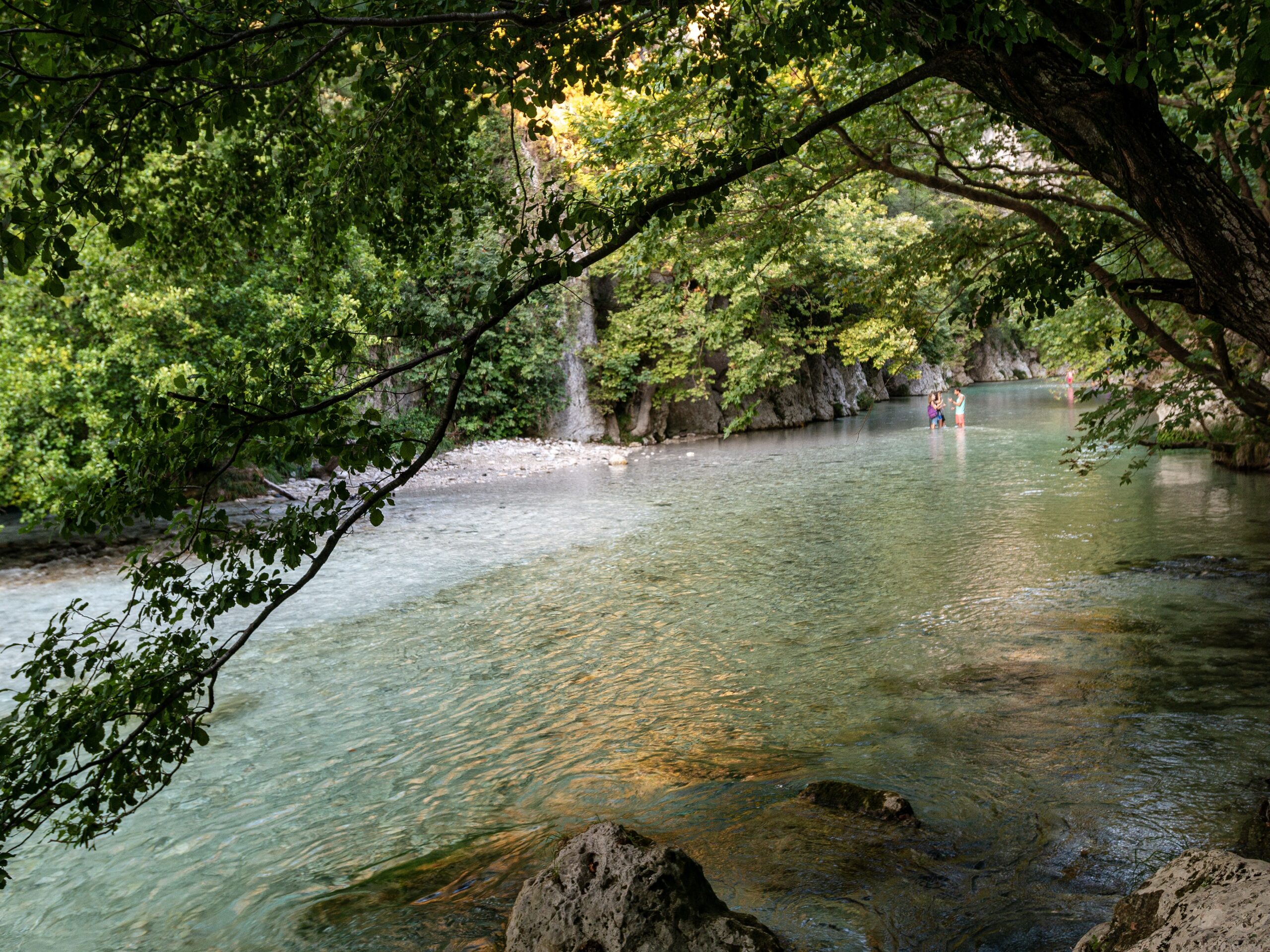
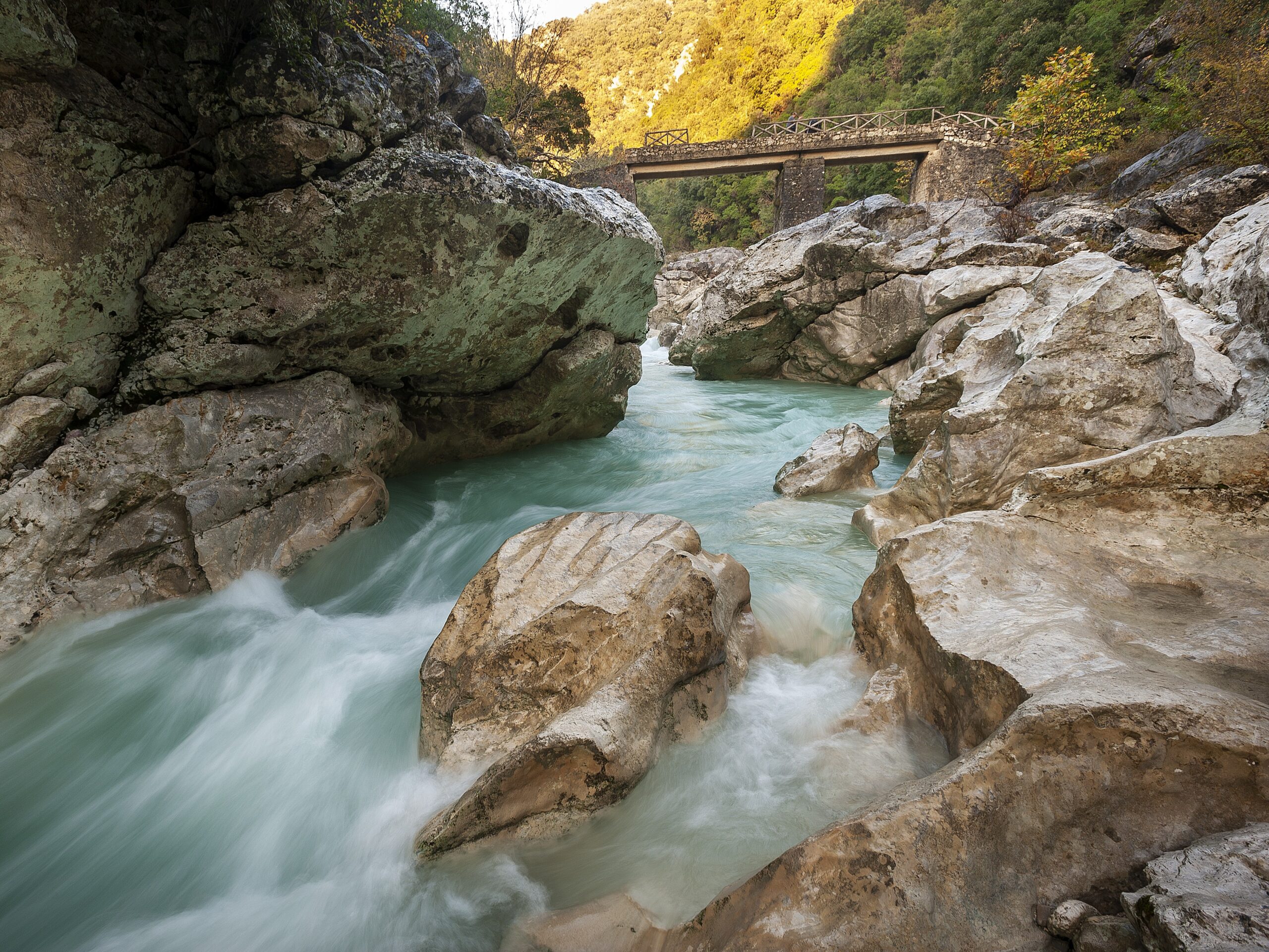
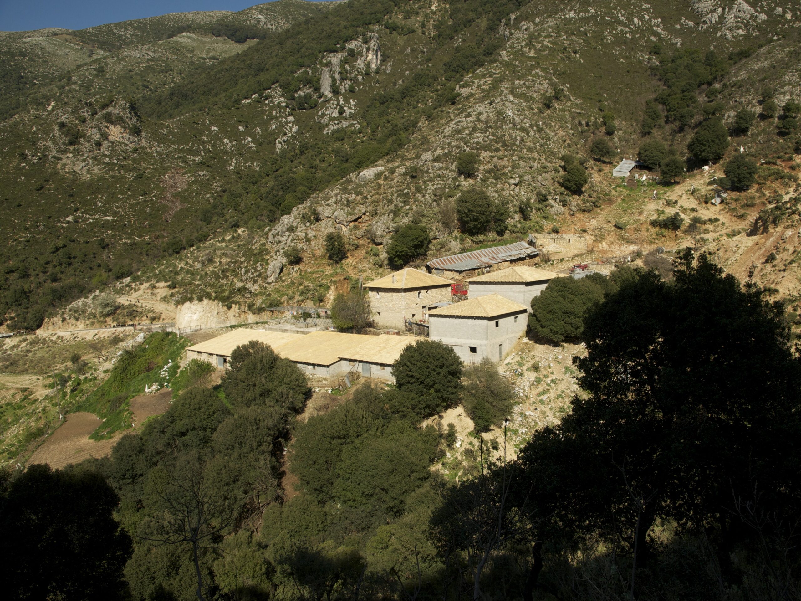
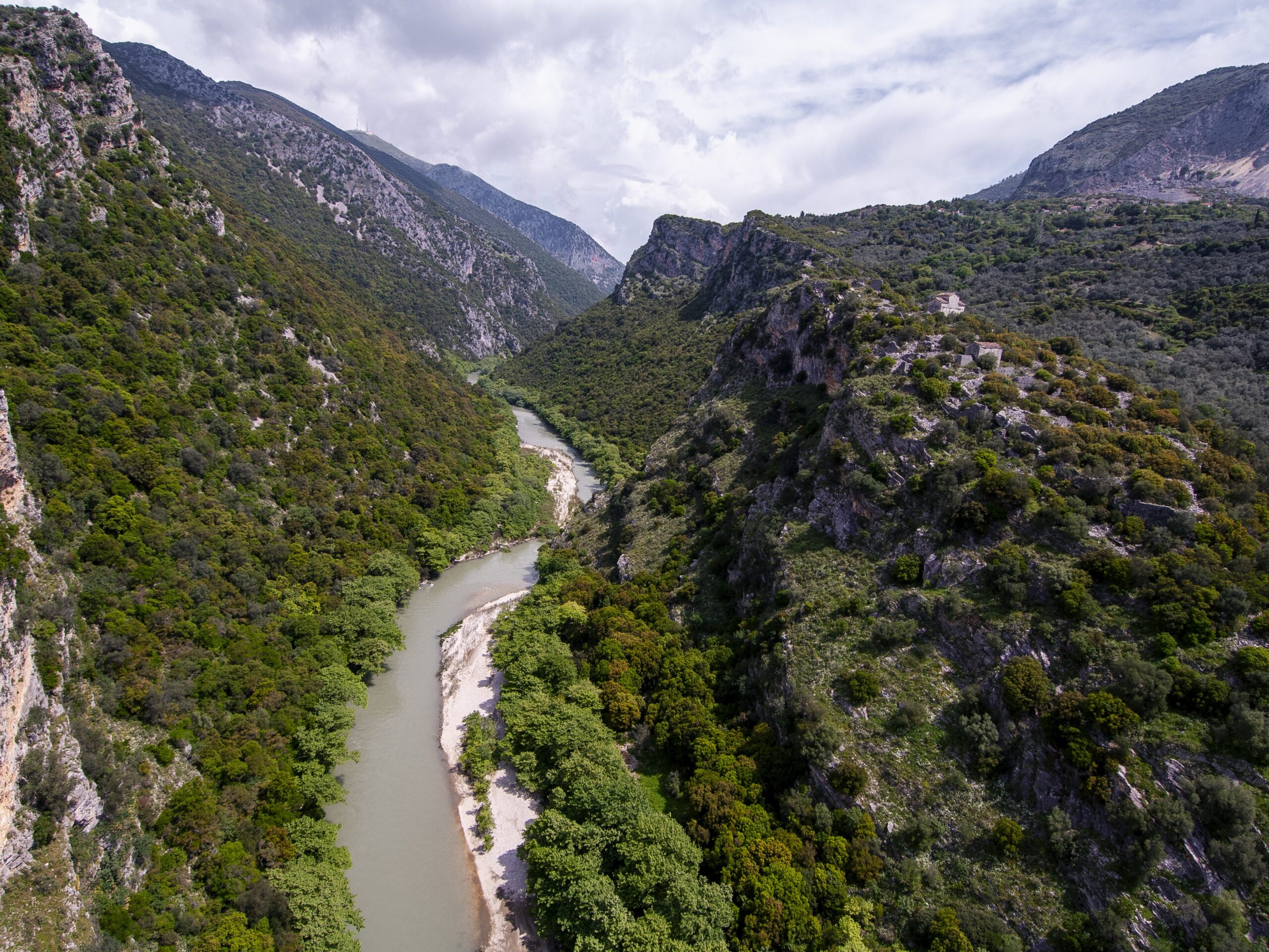
Follow the route that guides you from the landscape of myth to the peaks of history. Starting from Glyki, the trail runs through the gorge of Acheron, the river that, according to Greek mythology, served as the passage to the Underworld.
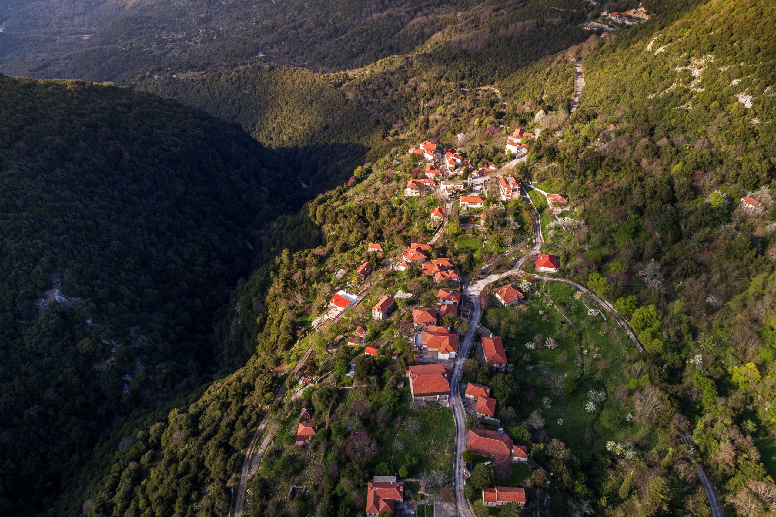
Passing by the historic Dala Bridge, the ascent towards the historic villages of Souli reveals an entirely different landscape. The steep slopes tell the story of a place closely associated with the Greek War of Independence, becoming an enduring symbol of resistance and freedom.
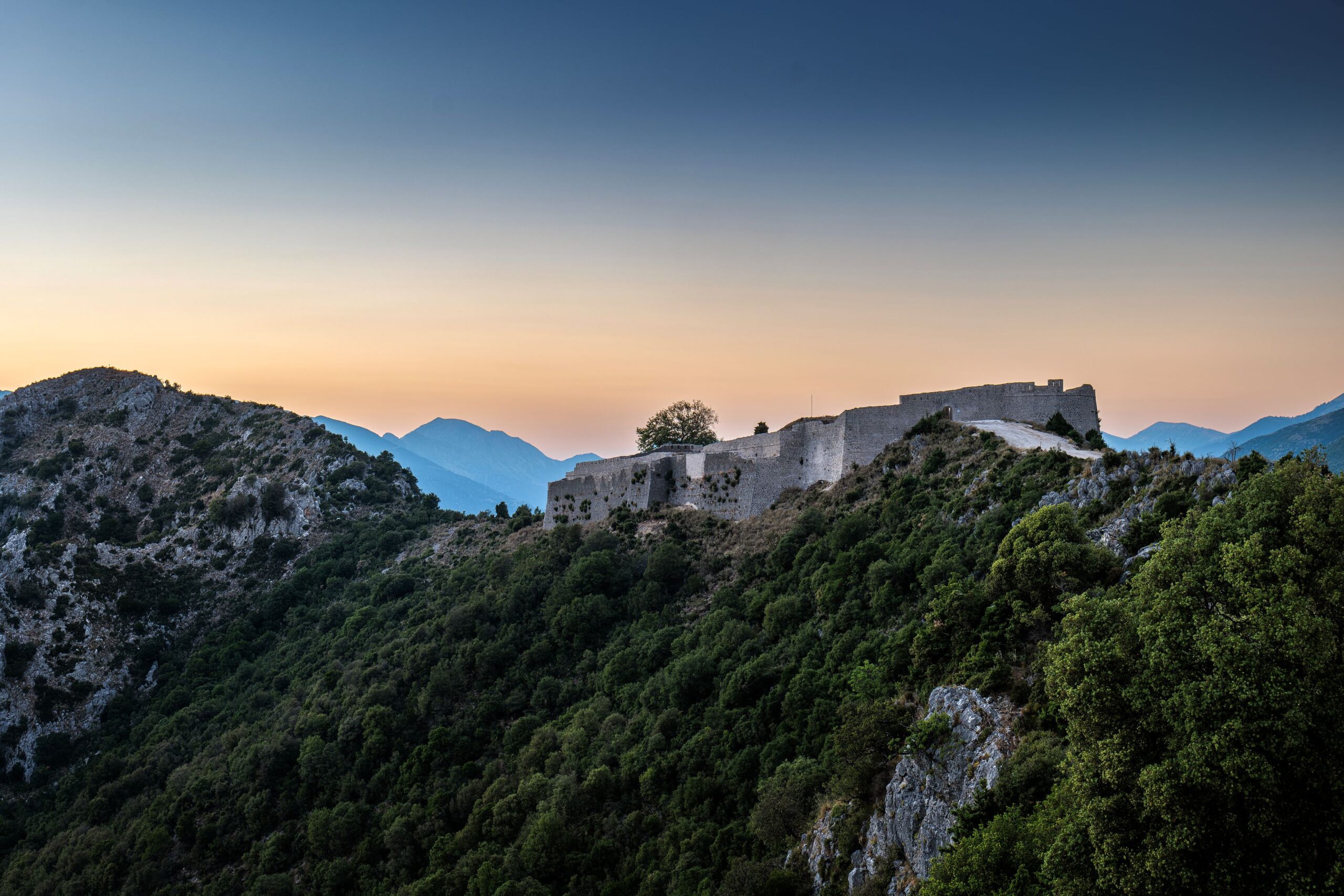
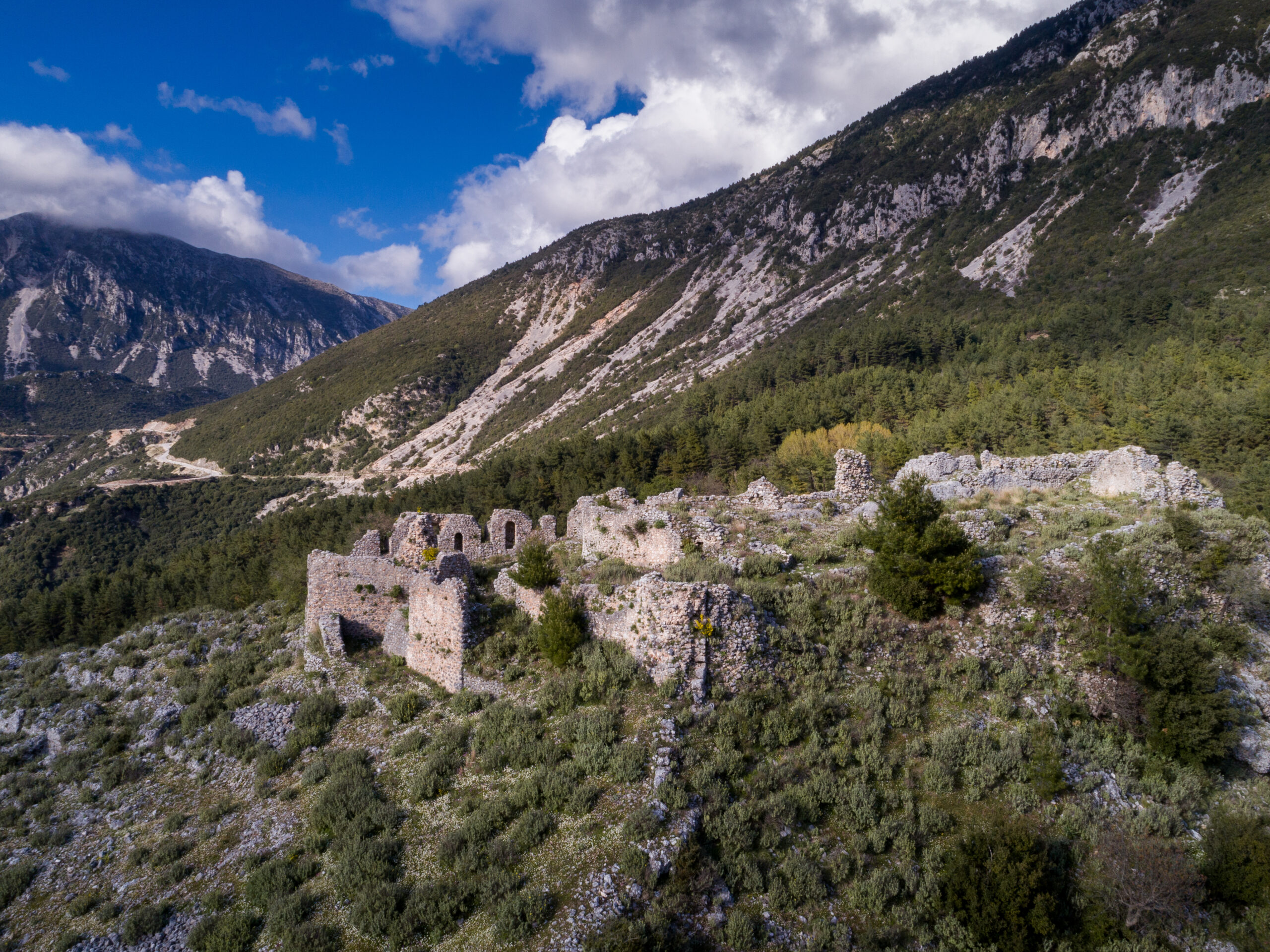
The route ends at Kiafa Castle, one of Souli’s most significant fortresses. From this vantage point, your gaze sweeps across the historic landscape of Souli, with the legendary Kougi standing out opposite as a timeless symbol of freedom and self-sacrifice. The surviving remnants of the castle invite visitors to discover a place where myth, nature and history are harmoniously intertwined.
Glyki – “ Dala’s” Bridge section
Category:Hiking
Route:Traverse
Kilometres: 1.91
Time without stops: 1 hr
Elevation: 36 m
Overall route direction:North-east
Lowest point: 58 m
Highest point: 94 m
“Dala’s” Bridge – Samonida section
Category: Easy hiking
Route:Traverse
Kilometres: 3.23
Time without stops: 1 hr
Elevation: 328 m
Terrain condition: Trail 1.44 km – Dirt road: 1.79 km
Overall route direction:North-east
Lowest point: 94 m
Highest point: 422 m
Comment: It connects with trails of the neighboring Municipality of Parga.
Glyki is the ideal starting point for exploring the region. Built on the banks of the Acheron River, Glyki is a settlement with a history spanning from the Hellenistic to the Byzantine era and today is a popular destination for nature-based and outdoor activities.
.
Springs of Acheron
Following its course, the river enters the imposing Straits of Acheron, where for thousands of years, the water has carved through the limestone to create a stunning gorge. The steep cliffs, crystal-clear waters and dense riverside vegetation form an ecosystem of exceptional ecological value. It is a sanctuary for protected species such as the wolf (Canis lupus), the otter (Lutra lutra), and the European tree frog (Hyla arborea), as well as significant fish species like the Mediterranean killifish (Aphanius fasciatus) and the Ionian minnow (Phoxinellus pleurobipunctatus). The area has been integrated into the European Natura 2000 network of protected areas.
Gates of Hades
In ancient Greek mythology, Acheron was the river that led to the Underworld. Crossing the gorge, you will pass by the legendary Gates of Hades, from where, according to tradition, the souls of the dead boarded Charon’s boat to cross the river and reach the realm of Hades, while Cerberus guarded the entrance, preventing any living being from passing through.
To your right, high up on the slope, you can spot the legendary Skala of Tzavelaina (Tzavelaina’s Path). According to one version of local tradition, Moscho, the wife of Lambros Tzavelas, ordered the opening of this daring passage, with craftsmen working while suspended from the steep cliffs. Another version recounts that the brave kapetanissa (chieftain’s wife) herself attempted to cross the perilous path on horseback, tragically losing her life there.
Dala’s Bridge
For centuries, the bridge provided the Souliotes with a safe crossing over the rushing Tsaggariotiko Stream. It takes its name from Dala’s watermill, the ruins of which still stand just below the bridge. It also formed part of the daily route of the women of Souli, who crossed here to grind their grain at the mill before continuing to the stream to wash their clothes. Today, the ruins of both the bridge and the mill are protected as a historic listed monument by the Hellenic Ministry of Culture.
Samonida
Samonida was one of the historic settlements of Souli, deeply intertwined with the daily life and the struggles of the Souliotes during the era of Ottoman rule.
Kiafa Castle
Perched in a commanding strategic position, Kiafa Castle overlooks the historic villages of Souli. Following the surrender of Souli in 1803, Ali Pasha built this formidable fortress to control the region and prevent the Souliots from returning. Today, its imposing walls and sweeping views over Souli and Kougi stand as a lasting reminder of the area’s enduring struggle for freedom.
«Elataria Community – Elataria Climbing Area – “Selloma Livadeiou” location – Chionistra Peak»
General information
Total lenght: 4,525 m
Trail: 4.,245 m
Dirt road: 280 m
Hiking time: 2 hrs 40 min
From the lush fir forest to the bare peak
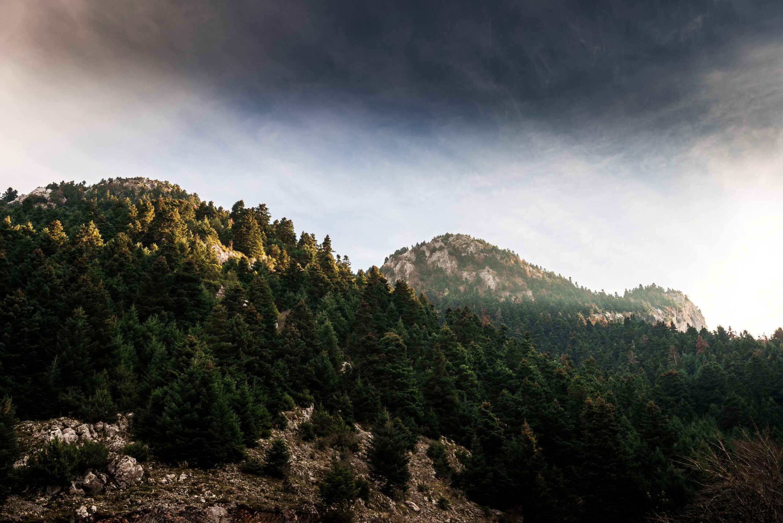
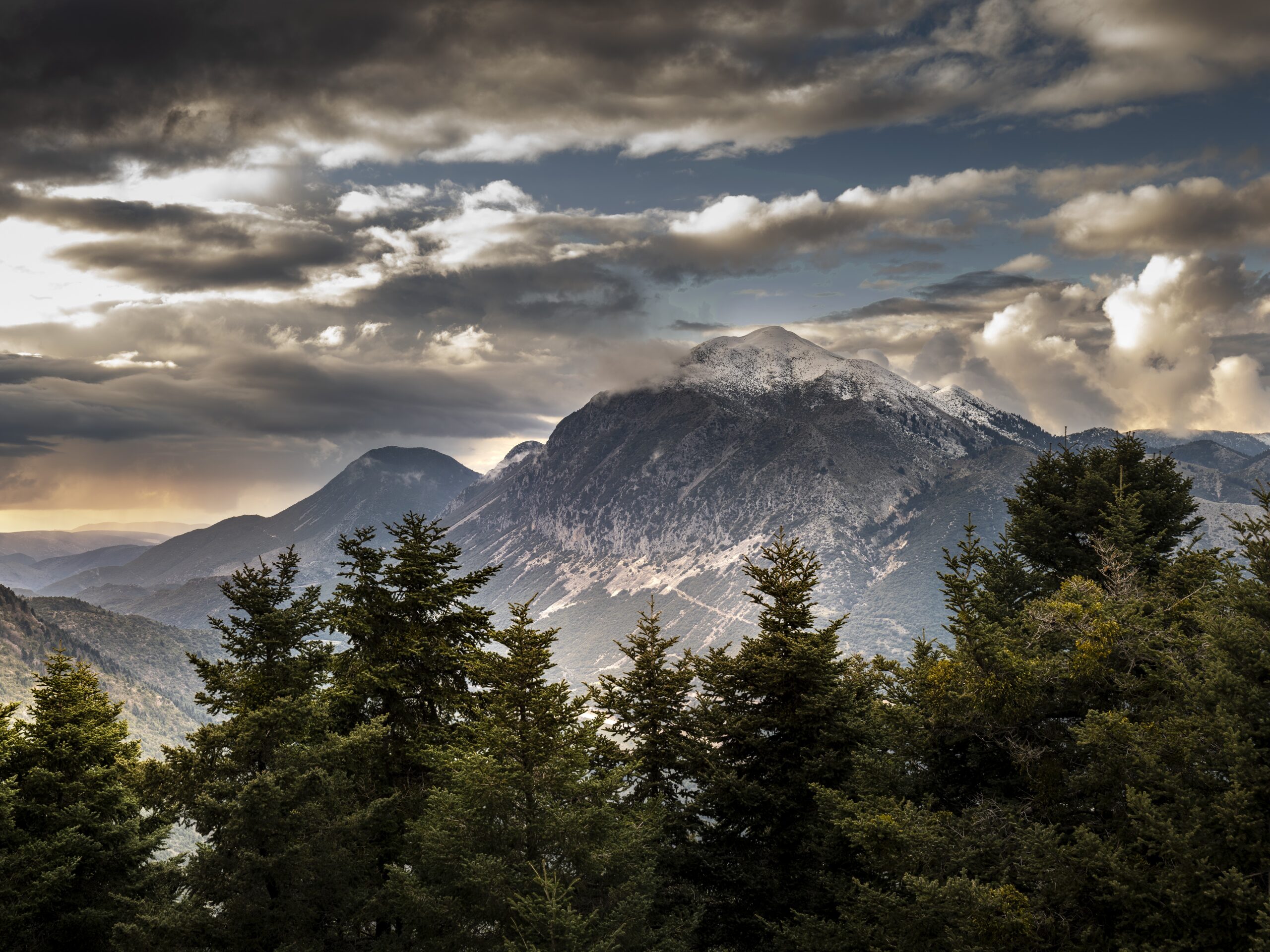
The route from Elataria to the Chionistra peak reveals the breathtaking beauty of the mountainous landscape in the Municipality of Souli. Winding through dense fir forests, impressive rock formations, and sweeping mountain ridges ridges, you will discover a place where nature dominates. The trail combines the challenge of climbing with the reward of the view from one of the highest peaks of Thesprotia.
In the heart of Thesprotia’s largest fir forest, the now-abandoned Elataria preserves the memory of a mountainous settlement that once flourished. The old school building has been given a new lease of life as a mountain refuge, welcoming hikers at an altitude of 1,200 metres.
“Elataria” – “Glistero” Climbing sites
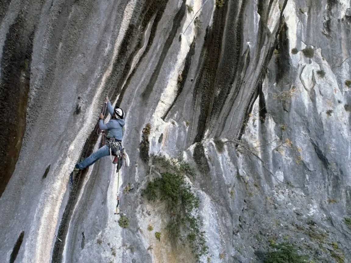
The impressive rock formations of the area have created an ideal terrain for climbing and exploration. Five routes of varying difficulty levels cater to both beginners and experienced climbers, while the trek through the fir forest remains an integral part of the overall experience.
Chionistra
At 1,644 metres, Chionistra is the third-highest peak in Thesprotia. From here, your gaze wanders across the ridgelines of Epirus, with the opposite peak of Gorilas dominating the mountainous landscape.
«Koulia Tower - Paramythia Castle»
General information
Total length: 917 m
Trail: 917 m
Hiking time: 40 min
Explore the city’s Byzantine and Ottoman heritage
The route is a short but fascinating tour through the city’s Byzantine and Ottoman history. The two emblematic monuments narrate the strategic importance of Paramythia, offering a unique opportunity to discover its rich cultural heritage.
Category:Easy hiking
Route:Traverse
Kilometres: 0.92
Time without stops: 40 min
Elevation: 163 m
Overall route direction:North-east
Lowest point: 365 m
Highest point: 528 m
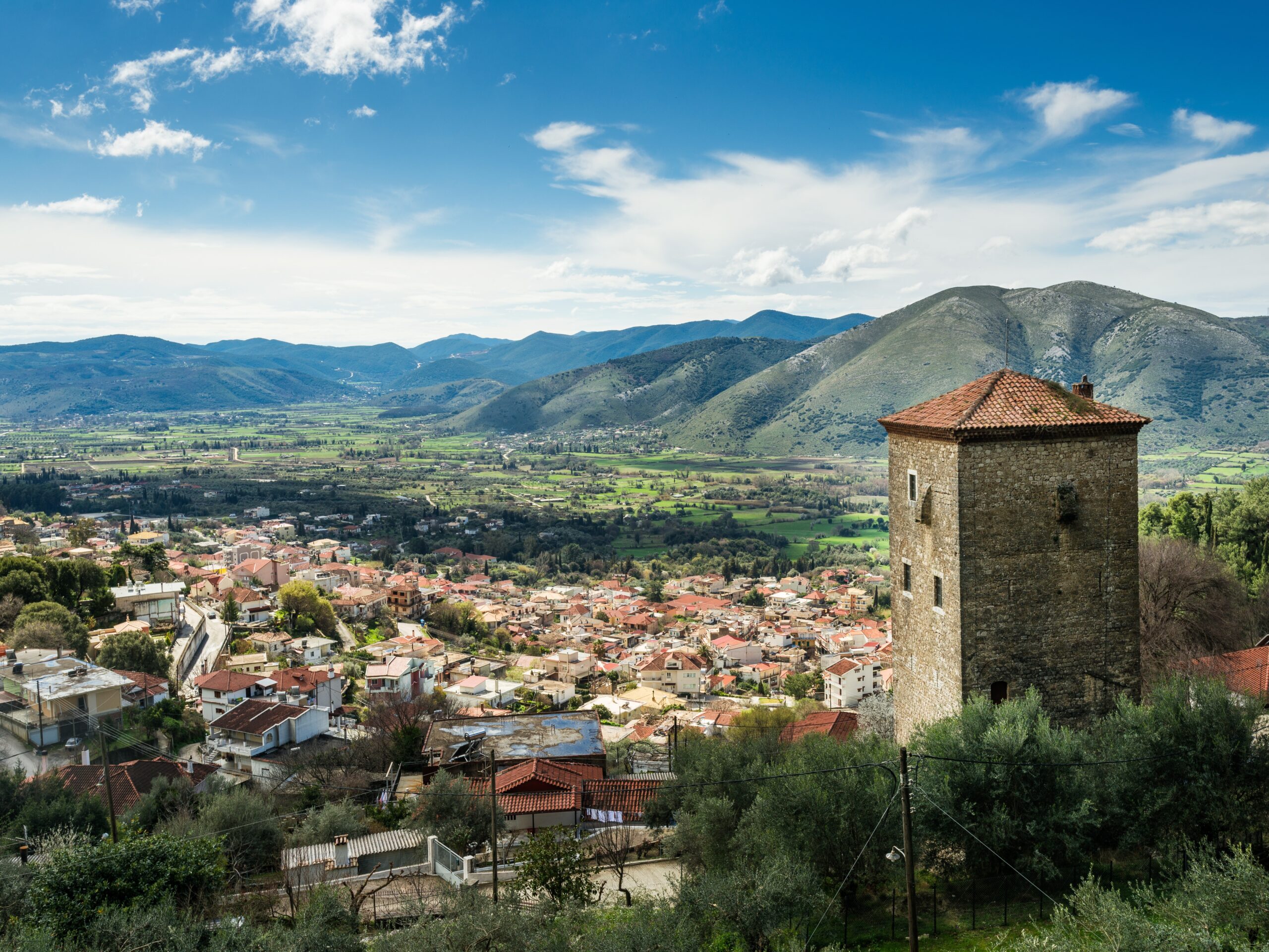
Comment: Panoramic view of the town and the Paramythia plain
Perched in a commanding position above the plain of Paramythia, Bolonata’s Koulia is an impressive 18th–19th century tower house and one of the finest preserved examples of fortified domestic architecture in northwestern Greece. From here, its owners kept watch over the surrounding plain, while its defensive design reflects the insecurity that characterised the Ottoman period. The tower also hosted Ali Pasha during his journeys through the region.
Castle of Paramythia (Castle of Agios Donatos)
Built in the 6th century by Emperor Justinian I on the remains of an earlier Hellenistic fortress, Castle of Paramythia was the region’s most important defensive stronghold. Wander among the remains of houses, streets and cisterns, and discover the traces of a thriving fortified town that was inhabited for centuries, from the Hellenistic period to the Ottoman era.
«Polydroso – Tzourloggo spring – Parkio - Holy Monastery of the Virgin Mary, Michla»
General information
Total length: 3,545 m
Trail: 2,872 m
Dirt road: 673 m
Hiking time: 2 hrs 10 min
In the heart of the protected area of the Kalamas River
Discover a route that unfolds amidst dense forests, cool springs, and places with a significant cultural footprint. Starting from Polydroso, the trail follows the shadow of the Kalamas River, passing through spots where water has shaped the natural landscape and the daily lives of the inhabitants for centuries. The ascent leads to a natural balcony offering panoramic views of the Kalamas protected area, before concluding at the historic Holy Monastery of Michla.
In the heart of the protected area of the Straits of Kalamas, Polydroso invites you to experience a place where nature, history, and living tradition coexist in harmony. Wander through its picturesque alleys and discover the historic church of Agios Dimitrios, dating back to the 16th century. There, you will also find the oldest Folklore Museum in Thesprotia and learn about the history of a settlement shaped in the late 18th century. This is also the birthplace of the Polyphonic Caravan, an initiative that highlighted the polyphonic tradition of Epirus and introduced it to audiences across Greece and the world.
“Tzourloggo” Spring
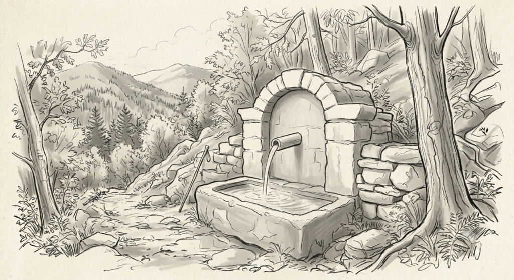
Beneath the shade of the trees and right next to the Kalamas, the “Tzourloggo” spring offers a natural resting spot. The abundant springs of the area provide refreshing coolness year-round, while in the past, these communal fountains were bustling hubs of life: they supplied households with water, quenched the thirst of travelers, and hosted the daily gatherings of the locals.
Parkio
Pause for a moment at Parkio and let your gaze follow the Kalamas valley. From this viewpoint, the mosaic of the protected area is revealed, offering a different perspective on the landscape and its unique ecological value. The area, also known as the Straits of Kalamas, is home to numerous fauna species, some of which are rare or endangered, such as the Eurasian otter (Lutra lutra), the Hermann’s tortoise (Testudo hermanni), the trout (Salmo farioides), and the Thesprotian minnow (Pelasgus thesproticus).
Holy Monastery of the Virgin Mary, Michla
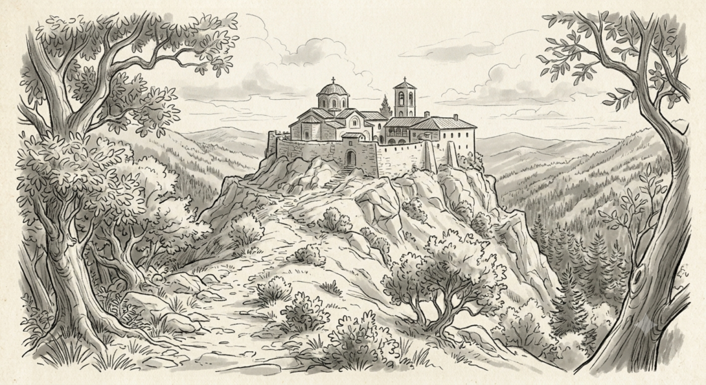
Built in 1845 by Abbot Leontios of the Velliani Monastery, the Monastery of Virgin Mary of Michla is dedicated to the Nativity of Panagia Lampovithra (the Virgin Mary of Lampovithra), a religious tradition that connects Thesprotia with the region of Ano Lampovo. Today, only the katholikon (main church) of the monastery is preserved, a space that invites visitors to discover a lesser-known aspect of the area’s religious and historical heritage.